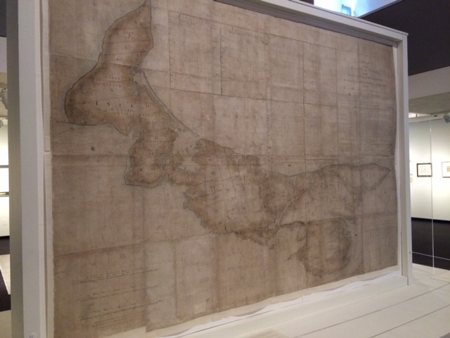
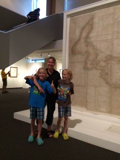
Other early maps were also on display. It was interesting and amusing to see the many misconceptions that earlier maps had included, especially with regards to the size and shape of the small but formidable island on which we spend our summers here in Canada!
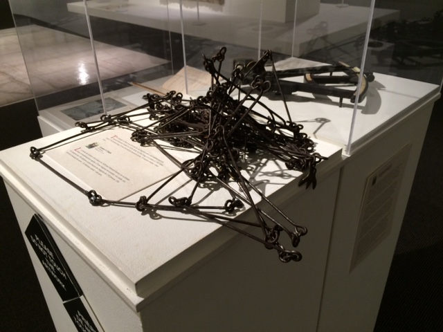
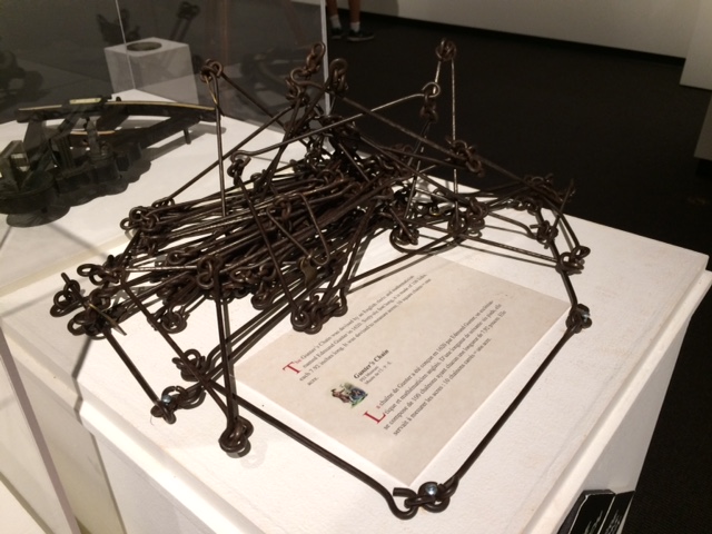
Can you guess what this is? How might it have been used to measure the size of the land?

 RSS Feed